components
Hardware Components
w5500
X 1
details
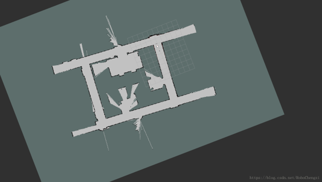
In the navigation and positioning, according to the information of the odometer, the gmapping algorithm is used to construct the map of the environment. The stm32F407 is used as the underlying drive control, and then a w5500 module is used to communicate with the computer host computer.
COMMENTS